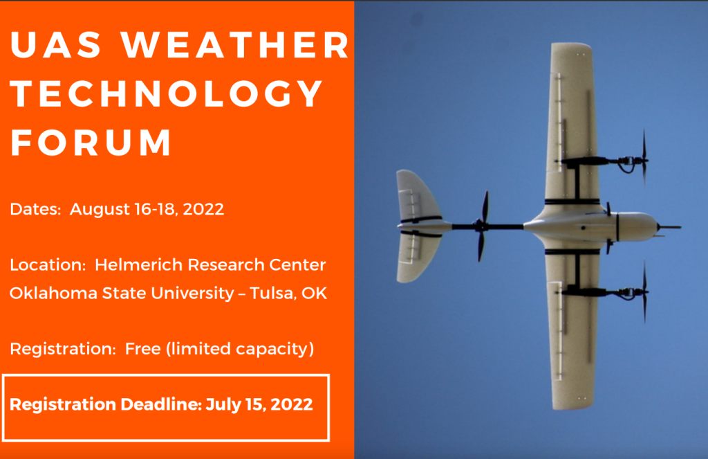
Vigilant Aerospace Systems CEO Kraettli L. Epperson will be making a presentation on integrating weather data into uncrewed aircraft system (UAS) safety and detect-and-avoid systems at the upcoming UAS Weather Tech Forum in Tulsa, Oklahoma on August 16-18, 2022.
Vigilant Aerospace provides the FlightHorizon COMMANDER airspace management and detect-and-avoid system for UAS safety and has been a participant in the
NASA ULI WindMap Project, led by Oklahoma State University. Vigilant is a commercial partner to the wind and weather hazard WindMap project, which is sponsored by NASA. Learn more about WindMap
here.
The UAS Weather Technology Forum is a new, annual event hosted by Oklahoma State University’s Unmanned Systems Research Institute and will focus on emerging research and technology around drone weather technology, aviation weather data collection and the contribution to safety of wind and weather hazard data collection by drones. The event is free to attend in-person or online, with registration.
Epperson’s presentation titled “Integrating wind and weather hazard data into uncrewed aircraft system traffic management (UTM) for improved flight safety” will be included in the UAS Data Assimilation session on Tuesday, August 16, 2022, starting at 1pm CST.
The collection of wind and weather data from drones in flight, the dissemination of weather hazard data to remote pilots and the eventual use of this data to inform crewed aircraft pilots about weather hazards, is expected to be a critical use for UAS in the near future.
The routine flight of UAS over long distances for inspections, surveying, search-and-rescue, emergency response and package delivery will require a high degree of automation, safety and continuous weather awareness. This data is also expected to make a major contribution to flight safety for general aviation aircraft pilots, as it is integrated into the overall National Airspace System.
The presentation will include a discussion of how wind and weather hazard data will be integrated into safety systems like FlightHorizon COMMANDER and the key development steps in this process:
- Process of integrating new wind and weather data collection processes
- An update on the company’s participation in the NASA ULI WindMap project
- Discussion of current R&D frontiers and activities to test weather data collection systems and integration into the UTM system
- The presentation will explain the use of the supplemental data service provider (SDSP) model to collect and distribute this data to subscriber systems
- Discussion of display and automated use of wind and weather hazard data in uncrewed traffic management (UTM) systems like FlightHorizon COMMANDER
- Review of flight automation and flight safety algorithms and industry technical standards for detect-and-avoid and UTM that incorporate weather data
- General overview of how FlightHorizon COMMANDER works to keep drones safe, how it integrates third-party data and how it provides avoidance commands
 Session Details:
Session:
 UAS Data Assimilation
Title: ”Integrating wind and weather hazard data into uncrewed aircraft system traffic management (UTM) for improved flight safety”
Time: Tuesday, August 16, 2022, 1pm CST
Location: Oklahoma State University – Tulsa, Helmerich Research Center

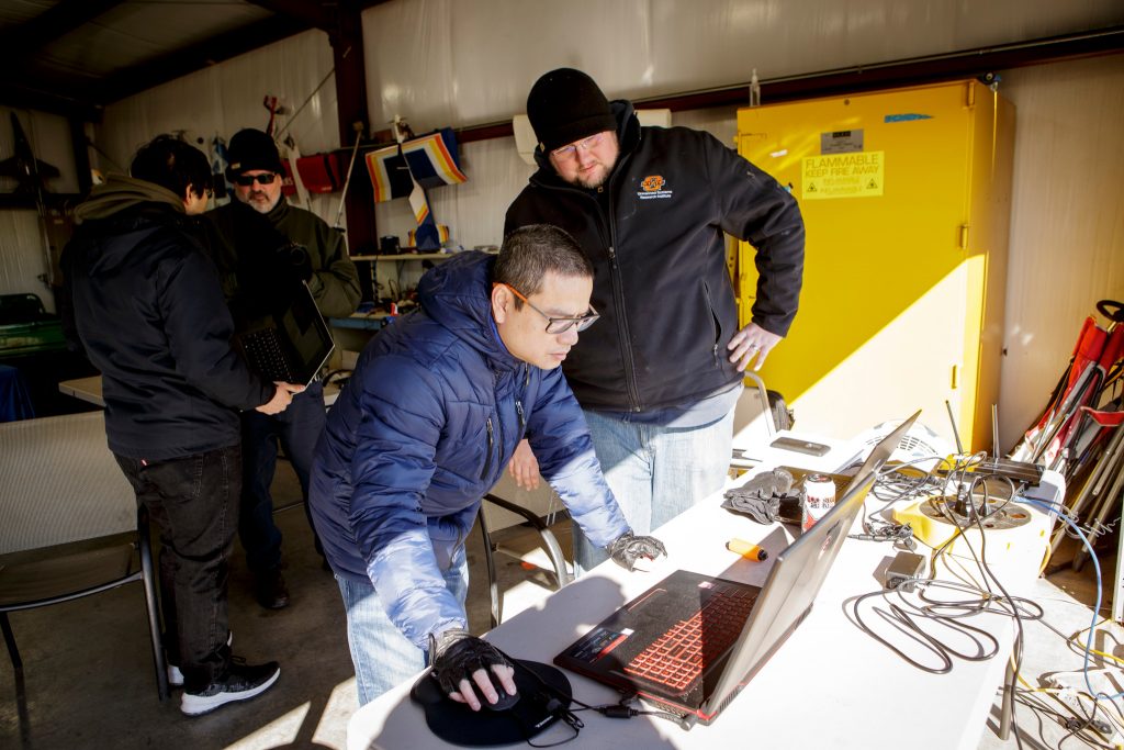
The OSU and VAS team setting up for the flight at the OSU Unmanned Aircraft Flight Station. Photo Credit: Gary Lawson/Oklahoma State University
to join us at the 2022 SAE AeroTech Conference!
Want a one-on-one chat?
Contact us to schedule a sit-down with our CEO at the conference.
 About the UAS Weather Technology Forum
The goal of this workshop is to highlight the state-of-art in UAS/drone research and development in meteorology and atmospheric science, including platforms, diagnostics, instrumentation, and logistics. Participants will discuss various ways that UAS can be used to improve observations leading to better forecasts and warning, as well as how UAS data can be used for other scientific studies and applications, including improving severe weather response and better understanding of climate change impacts. The goal is to identify how UAS data can be acquired and utilized in the atmospheric science community, to identify impediments in their use, and highlighting what can be done to overcome current and future issues in their implementation. The symposium will culminate with a workshop setting to discuss development of a national center on UAS in Weather. Results from the first two years of the NASA ULI WINDMAP program will be highlighted. For more information, visit
UAS Weather Technology Forum | Oklahoma State University (okstate.edu)
About the OSU Unmanned Systems Research Institute

Unmanned vehicles have become a revolutionary technology that is taking the world by storm. The OSU Unmanned Systems Research Institute (USRI) accesses expertise across Oklahoma State University allowing them to combine cutting edge product development with academic knowledge and resources to create unique solutions to critical problems. For more information on the OSU Unmanned Systems Research Institute, visit
CEAT.okstate.edu/USRI.
About Vigilant Aerospace Systems
Vigilant Aerospace is the leading developer of detect-and-avoid and airspace management software for uncrewed aircraft systems (UAS or drones). The company’s product, FlightHorizon, is based on two NASA patents and uses data from multiple sources to display a real-time picture of the air traffic around a UAS and to provide automatic avoidance maneuvers to prevent collisions. The software is designed to meet industry technical standards, to provide automatic safety and to allow UAS to safely fly beyond the sight of the pilot. The software has won multiple industry awards and the company has had contracts and users at NASA, the FAA, the U.S. Department of Defense and with a variety of drone development programs. Visit our website at
www.VigilantAerospace.com  Session Details:
Session: UAS Data Assimilation
Title: ”Integrating wind and weather hazard data into uncrewed aircraft system traffic management (UTM) for improved flight safety”
Time: Tuesday, August 16, 2022, 1pm CST
Location: Oklahoma State University – Tulsa, Helmerich Research Center

 About the UAS Weather Technology Forum
 Unmanned vehicles have become a revolutionary technology that is taking the world by storm. The OSU Unmanned Systems Research Institute (USRI) accesses expertise across Oklahoma State University allowing them to combine cutting edge product development with academic knowledge and resources to create unique solutions to critical problems. For more information on the OSU Unmanned Systems Research Institute, visit CEAT.okstate.edu/USRI.

