Vigilant Aerospace’s CEO will be making two appearances during the ISARRA (International Society for Atmospheric Research using Remotely piloted Aircraft) conference in Tulsa this week. During the conference, he will be speaking about the company’s involvement in the NASA ULI WindMap project and the company’s integration of cutting-edge, real-time storm track forecasting data into the FlightHorizon airspace management product. He will also be taking part in an industry panel on technology commercialization organized by the US Small Business Administration’s UAS Cluster Initiative as part of the “Catalyzing Commercialization” event.
About ISARRA 2024 in Tulsa

The 2024 ISARRA conference takes place in Tulsa on Sept. 4, 5 and 6 and will be at the LaunchPad Center for Advanced Mobility in the Helmerich Research Center on the Oklahoma State University (OSU)-Tulsa campus.
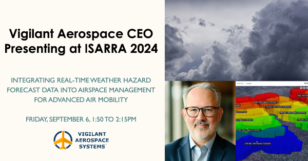
Vigilant Aerospace CEO Kraettli Epperson is presenting on the company’s participation in the NASA ULI WindMap project and recent weather hazard data integrations on Friday, September 6 from 1:50 to 2:15pm.
The ISARRA organization is a member-based, non-profit society for scientists conducting atmospheric and earth science research utilizing uncrewed autonomous vehicles and the meeting is hosted by the Oklahoma Aerospace Institute for Research and Education (OAIRE) at Oklahoma State University.
The conference also serves as a capstone for the NASA ULI (University Learning Initiative) WINDMAP project, started in 2021 and led by Oklahoma State University. The conference will feature several updates from participants on the project’s results, including Vigilant Aerospace.
NASA University Leadership Initiative WindMap Project

NASA’s University Leadership Initiative (ULI) provides an opportunity for universities to receive NASA funding and take a leadership role in building their own research teams and setting their own research agenda with goals that support and complement NASA aeronautics research goals.
OSU was awarded leadership of a multi-year NASA ULI project in 2020, culminating in 2024. Under the leadership of Principal Investigator, OAIRE Executive Director Jamey Jacob, WINDMAP addressed the emerging need in the aviation community to provide real-time weather forecasting to improve the safety of low altitude aircraft operations. The research projects involved integration of real-time observations from autonomous systems, such as drones and urban air taxis, with numerical weather prediction models and delivery of information to flight management and safety systems.
Several technical challenges were identified for the project:
- Developing autonomous UAS capable of conducting weather observations accurately and reliably
- Determining the number and frequency of required observations and the sensitivity of these observations in data sparse regions of the lower atmosphere
- Assimilating dense observational data into models in real-time with sufficient resolution and accuracy
- Developing novel physics-based reduced order models capable of incorporating diverse data sets
- Integrating real-time forecasting into UTM and DAA (detect-and-avoid) architectures for path planning and navigation

The goal of the project was to demonstrate the value of using small UAS to collect measurements of the dynamic and thermodynamic properties of the lower atmosphere at scales that match or exceed the spatiotemporal resolution of today’s best numerical weather prediction models.
Recent participants in the WindMap project include Oklahoma State University, University of Illinois, Boeing, Chicago State University, Massachusetts Institute of Technology (MIT), Ohio State University, Rensselaer Polytechnic Institute, University of Arkansas and the University of Dayton.
UAS Cluster Initiative Technology Commercialization Event
Our CEO will also be speaking on a panel about technology commercialization organized by the US Small Business Administration’s Unmanned Aircraft Systems Cluster Initiative and Tulsa Innovation Labs. This is part of their “Catalyzing Commercialization” event.
The panel is open to conference attendees and will be addressing the path from laboratory to commercial product for drone and Advanced Air Mobility technologies through a discussion with industry executives and innovators. The event is designed connect researchers with key players in Oklahoma’s emerging aerospace ecosystem and to provide learning about technology commercialization benefits and opportunities.
Please contact the conference organizers for more information about this exclusive event.
Flight Week for the SCALES Project
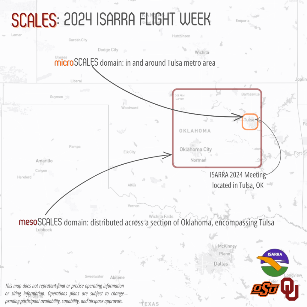
In addition to the ISARRA 2024 conference, NCAR, OSU and the University of Oklahoma will conduct a week of flight testing of small weather data collection drones from Sept. 8th to Sept. 13, dubbed Flight Week.
The project is part of the SCALES program which stands for Small-UAS Coordination for Atmospheric Low-Level Environmental Sampling and is a program organized by NCAR to conduct the R&D necessary to use small drones in weather data collection in a scalable manner. The goal of this proposed effort is to demonstrate the value of using small UAS to collect measurements of the dynamic and thermodynamic properties of the lower atmosphere at scales that match or exceed the spatiotemporal resolution of today’s best numerical weather prediction models.
With flights taking place in Purcell, Oklahoma, the project aims to explore the idea of creating a 3 dimensional weather data collection network using drones at multiple altitudes across a large region and to explore the effects of urban landscapes on weather by sampling urban heat island impacts and localized variations in winds and turbulence in support of high-fidelity large eddy simulation improvement efforts.
Flight Week efforts will focus on technical capabilities like data distribution and dissemination, airspace deconfliction and monitoring, operations feasibility and advanced air mobility concepts.

More Information
Learn more about the WINDMAP project: NASA University Leadership Initiative
Video briefing about Vigilant’s involvement in the NASA ULI WINDMAP Project:
Video: NASA ULI WindMap Project Vigilant Aerospace Briefing – Vigilant Aerospace Systems, Inc.


