
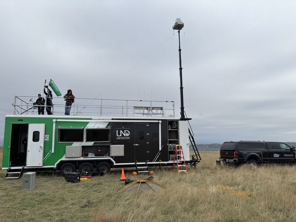
Vigilant Aerospace Systems brought real-time airspace awareness to a coordinated public safety exercise in Williston, North Dakota, on Sept. 29–30, 2026, using FlightHorizon TEMPO. Participants explored how a shared view of nearby aircraft could support emergency response coordination.
The exercise continued the company’s partnership with the University of North Dakota (UND) John D. Odegard School of Aerospace Sciences, building on April’s Camp Grafton exercise and an earlier demonstration at Gorman Field.
Paul Snyder, Assistant Chair and Director of UND Aerospace’s uncrewed aircraft systems (UAS) program, described the purpose:
“We displayed the Vigilant Aerospace FlightHorizon system during our demonstration and training events in April and September as we learned how current UTM-type systems can be used and how it might be effective for disaster response and airspace management.”
UTM refers to UAS traffic management. For responders, the practical concern is knowing which aircraft are nearby when multiple organizations operate around the same emergency.
Kendyn Webster, Director of Operations at Vigilant Aerospace, explained how the Williston demonstration addressed that need:
“At Williston, we brought sensor data together in FlightHorizon TEMPO to provide participants with a shared picture of aircraft activity and demonstrate how that visibility can support coordination and operational decision-making. Exercises like this provide an important opportunity to work alongside emergency response organizations, understand their operational needs, and explore how airspace awareness technology can be integrated into real-world response procedures.”
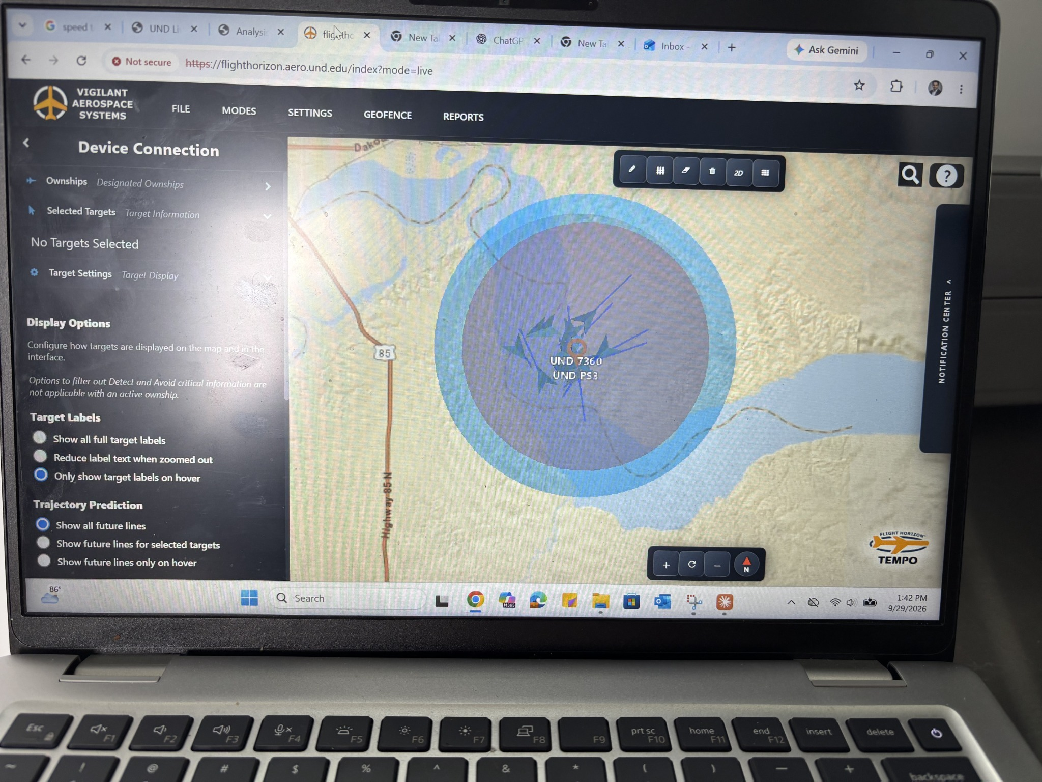
The event gave participating organizations an opportunity to evaluate airspace awareness tools together before an emergency requires them to coordinate aircraft operations. It also allowed Vigilant Aerospace to learn directly from responders about their needs in the field.
Building on Search-and-Rescue Training at Camp Grafton
In April, Vigilant Aerospace supported a National Guard emergency management exercise at Camp Grafton near Devils Lake, North Dakota. The exercise brought together UND Aerospace, public safety agencies, military personnel and federal observers for search-and-rescue training.
Participants worked through missing-person scenarios involving ground responders and crewed and uncrewed aircraft. A command trailer served as their coordination point. Webster and Zach Peterson, Director of Business Development at Vigilant Aerospace, participated on site as FlightHorizon TEMPO and FlightHorizon DEFENDER provided live airspace information.
Kraettli L. Epperson, CEO and Co-Founder of Vigilant Aerospace, described the value of that shared view:
“At Camp Grafton, multiple organizations brought aircraft and response capabilities into the same training environment. A shared airspace picture helps participants understand nearby aircraft activity and coordinate their operations. Our partnership with UND Aerospace allows us to put these capabilities into the field and learn directly from the people preparing for emergency response.”
From Gorman Field to Field Exercises
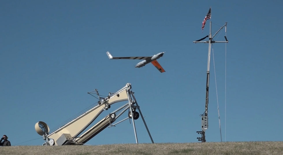
The partnership began in January 2025 with airspace management at Gorman Field, UND’s UAS test range. During a July 16, 2025, demonstration, FlightHorizon TEMPO concurrently tracked small UAS, a ScanEagle flying beyond visual line of sight, MQ-9 Reapers and RQ-4 Global Hawks. Authorized users could access the same live display to help coordinate military and university aircraft activity.ught into a shared display. The work supported UND Aerospace’s effort to build a common operating picture across agencies, aircraft and response assets. In turn, participants could explore its use in coordinating organizations with different aircraft and responsibilities.
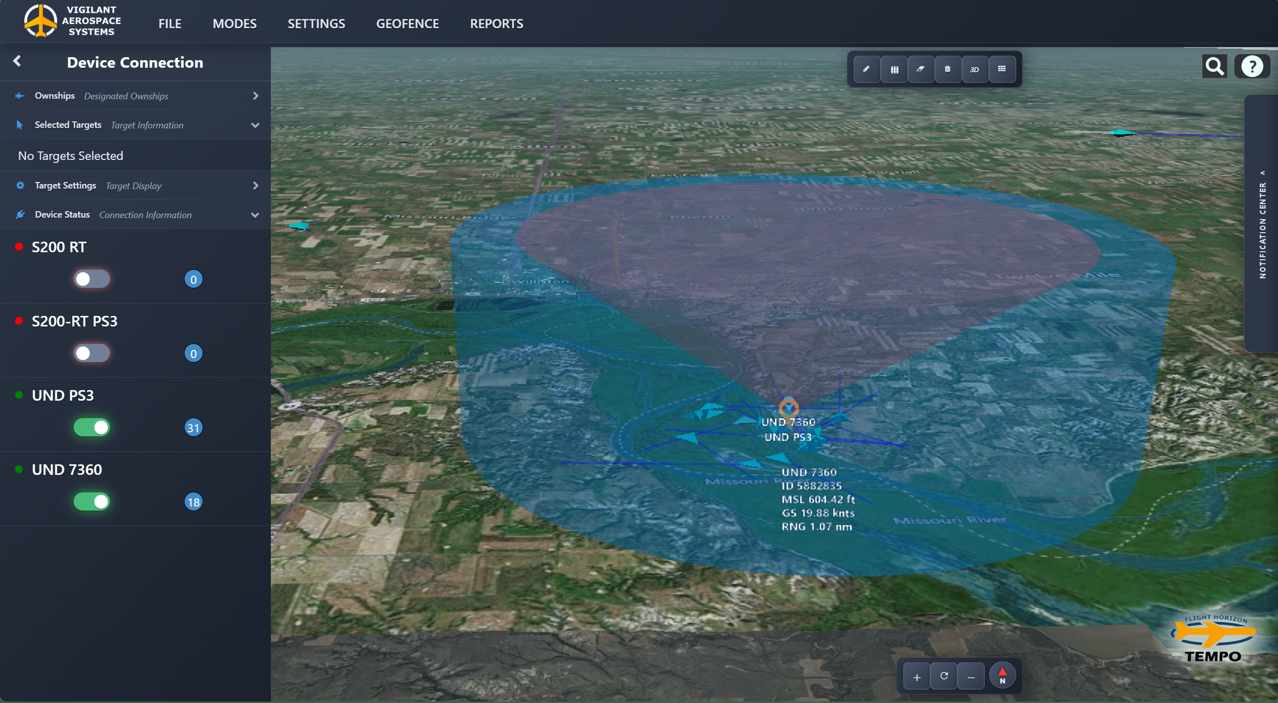
That work provided a foundation for subsequent deployments at Camp Grafton and Williston. At Williston, Vigilant Aerospace connected radar and Automatic Dependent Surveillance-Broadcast (ADS-B) In inputs to a portable, secure system configured for the exercise.
The software associates observations of the same aircraft from different sensors and displays the resulting tracks on one map. At Gorman Field, additional capabilities include shared user access, predicted aircraft paths and alerts, with students and faculty using the system for coursework, field training and research.
Across these deployments, the goal remains consistent: help participating organizations understand nearby aircraft activity and practice working together before an emergency.
About UND Aerospace
The University of North Dakota’s John D. Odegard School of Aerospace Sciences is the second-largest degree-granting college at UND and operates one of the largest fleets of civilian aircraft in North America.
UND Aerospace supports aviation, uncrewed aircraft systems, space studies, atmospheric sciences, and related aerospace research and education. Its Gorman Field UAS Test Range provides facilities for UAS testing and training, including BVLOS testing support, electronic observer capabilities, aircraft modification space, flight planning space, and outdoor launch infrastructure.
 Vigilant Aerospace is the leading developer of multi-sensor detect-and-avoid and airspace management software for uncrewed aircraft systems (UAS or drones). The company’s product, FlightHorizon, is based on two NASA patents and uses data from multiple sources to display a real-time picture of the air traffic around a UAS and to provide automatic avoidance maneuvers to prevent collisions. The software is designed to meet industry technical standards, to provide automatic safety and to allow UAS to safely fly beyond the sight of the pilot. The software has won multiple industry awards and the company has had contracts and users at NASA, the FAA, the U.S. Department of Defense and with a variety of drone development programs. Visit our website at www.VigilantAerospace.com